
RC 1045841 Mon–Fri · 08:00–17:00 WAT
Home / Solutions / Geospatial & GIS
Service · Geospatial

Transforming location data into actionable intelligence.

We help organisations collect, manage, analyse, visualise and apply location-based information — turning spatial data into useful information for planning, operations and decision-making.
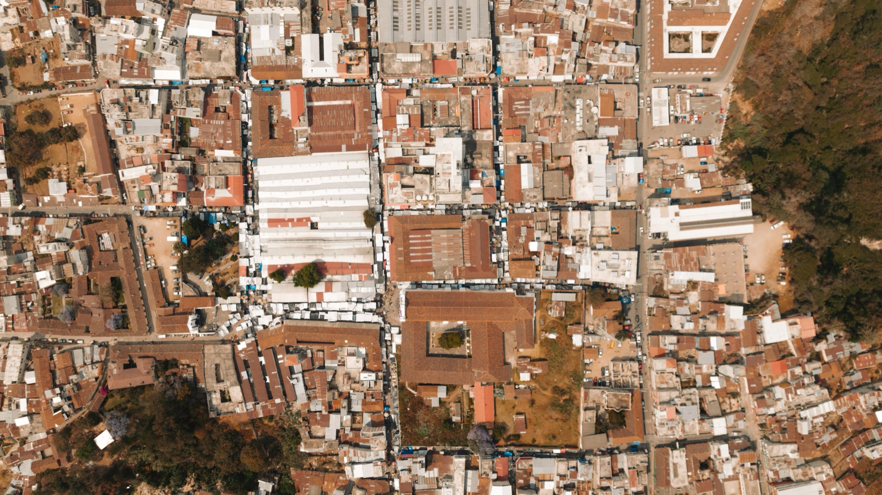

Aerial view of an urban area for mapping
Service areas

The full geospatial workflow, end to end.

From enterprise GIS to drone mapping, we cover the full geospatial workflow — data, platforms, applications and skills.

01

Enterprise GIS

Planning, implementation and integration of enterprise GIS across departments and business units.

Explore
02

GIS application development

GIS-enabled applications that let users access, manage, visualise and interact with spatial information.

Explore
03

Spatial data management

Data preparation, structuring, validation, integration and presentation.

Explore
04

Remote sensing & imagery

Imagery-based information for land-use analysis, environmental monitoring and infrastructure planning.

Explore
05

Drone & aerial mapping

Aerial data acquisition for mapping, inspection, surveying and monitoring, where permitted.

Explore
06

Land & asset mapping

Spatial information to identify, document and manage land parcels, facilities and physical assets.

Explore
07

Spatial analysis

Analysis of patterns, proximity and geographic distribution to support evidence-based decisions.

Explore
08

GIS consultancy & training

Advisory and professional development to build internal geospatial capability.

Explore
Geospatial engineer using a field map
Field data capture · Nigeria
The spatial workflow

From data capture to operational use.

Geographic information is an important resource for organisations responsible for planning, infrastructure, land administration, asset management, environmental monitoring and service delivery.

Our capabilities support the full spatial workflow — from data capture and management to analysis, visualisation and operational use.

01

Collect

Field, aerial and satellite data acquisition where permitted.

02

Manage

Structured, validated and integrated spatial data.

03

Analyse

Patterns, proximity and geographic distribution.

04

Apply

Maps, applications and evidence for decisions.

Talk to the geospatial team
Our delivery approach

From spatial requirements to operational use.

A structured eight-stage approach that leaves the client with a working capability, not just a map.

01

Requirements assessment

Understand objectives, users and operational context.

02

Spatial data assessment

Review data sources, quality and coverage.

03

Technology selection

Match platforms to requirements and environment.

04

GIS architecture & design

Design data, applications and integration.

05

Data preparation

Structure, validate and bring data together.

06

Application configuration

Configure or build the user-facing capability.

07

User training

Build confidence and internal capability.

08

Technical support

Sustain the solution beyond handover.

Start a conversation

Discuss your geospatial requirements.

Tell us about your data, users and decisions. We will help you define an appropriate GIS approach.