
RC 1045841 Mon–Fri · 08:00–17:00 WAT
Home / Solutions / Software & ICT
Software & ICT

Digital systems that make infrastructure visible.

ICT infrastructure, software and geospatial systems that turn network and asset data into something operators can actually use.


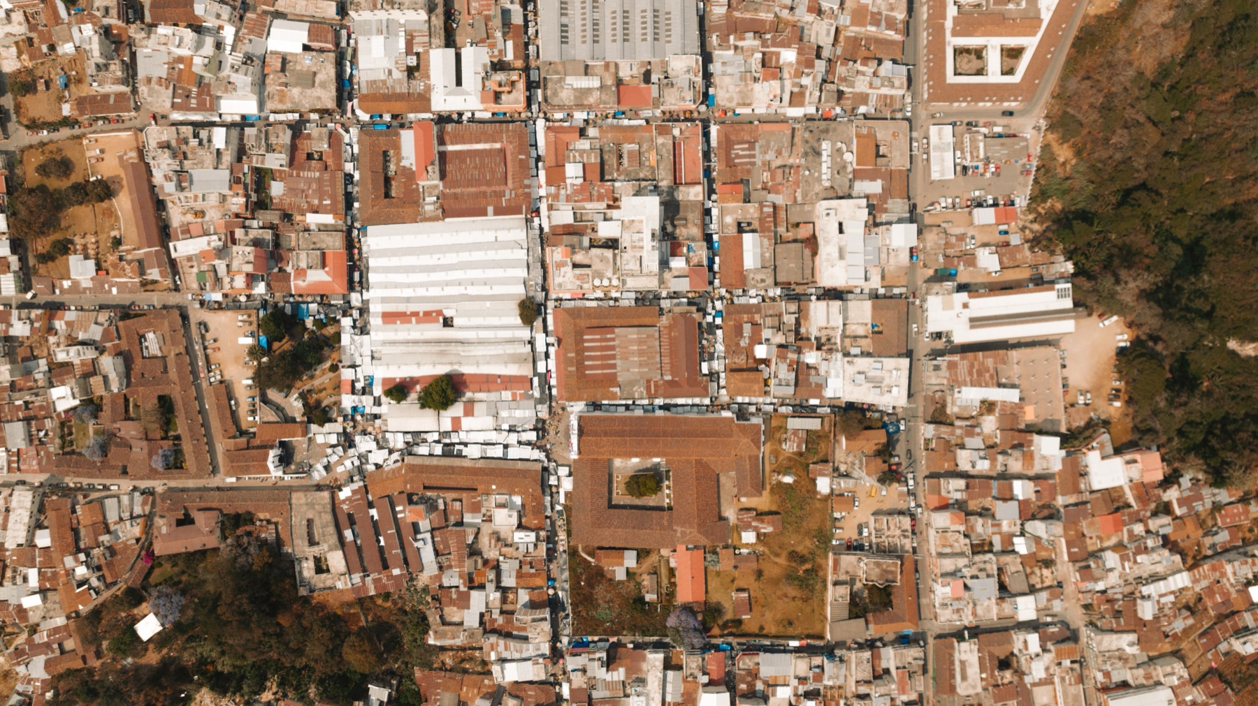
Analyst working with spatial data
Software team collaborating
Software & ICT team
Overview

Connect the system to the work.

Our digital practice connects enterprise GIS, software and ICT infrastructure to the assets and operations they describe — so teams can see status, plan works and manage service delivery from one view.

We deliver data centre and network infrastructure, enterprise applications, digital registries, OSS/BSS integration and GIS-based operations support.

Data centresApplicationsDigital registriesGIS
Talk to the digital team →
Capabilities

From the data centre to the map.

Six capabilities, built to work together.

01

ICT infrastructure

Servers, storage, networking and data centre infrastructure — designed, deployed and supported.

Explore
02

Software development

Custom enterprise, web and mobile applications built around the operating model.

Explore
03

Enterprise GIS

Planning, implementation and integration of enterprise GIS across departments.

Explore
04

Digital registries

Structured records, workflow and information access for institutions.

Explore
05

OSS / BSS

Operations and business support systems integrated with network and customer data.

Explore
06

Systems integration

Multi-vendor integration, configuration and acceptance testing.

Explore
Software

Applications that fit the operating model.

We build enterprise, web and mobile applications around the way teams actually work — not around a generic template.

Our digital registries and workflow tools support records management, approvals and information access for institutions.

Enterprise appsWeb & mobileWorkflowRecords
Explore software delivery →
IT training class
Build & transfer capability
Related practice

Geospatial & GIS.

Spatial systems

  • Enterprise GIS
  • Spatial data management
  • Remote sensing & imagery
  • Drone & aerial mapping

Operational use

  • Land & asset mapping
  • Spatial analysis
  • GIS application development
  • GIS consultancy & training
Start a conversation

Let's scope your next project.

Tell us the requirement. We will help you frame the right combination of technology, delivery and support.